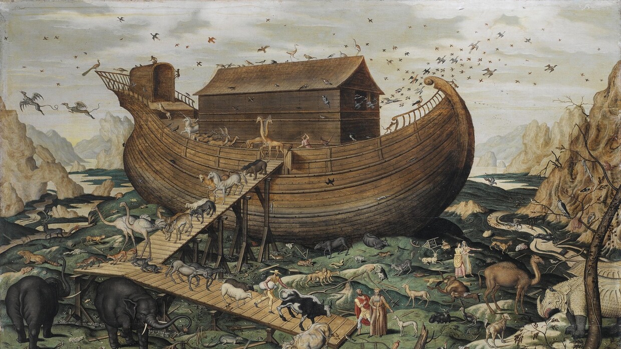
Decoding the Site of Prophet Noah's Ark on a Mountain Peak in Türkiye
Decoding the Location of Prophet Noah's Ark on a Mountain in Türkiye
A team of experts, led by Istanbul Technical University, successfully deciphered the world's oldest known archaeological map, dating back 3,000 years, revealing the location of Prophet Noah's Ark depicted among the drawings.
According to the New York Post, the 3,000-year-old Babylonian artifact, which puzzled archaeologists for centuries, was deciphered in recent weeks.
The artifact, a Babylonian tablet discovered in 1882 in the Middle East and later housed in the British Museum, is among its most renowned exhibits.
Scientists confirmed that the stone map includes inscriptions in cuneiform on its back and describes the creation of the Earth and its surroundings as understood by ancient Babylonians.
Named "Imago Mundi" by researchers, the carvings depict ancient Mesopotamia, now modern-day Iraq, surrounded by the "Bitter River," a dual-ring boundary of the known Babylonian world.
The researchers identified Urartu, also known as Ararat, located atop a mountain in Türkiye, as the place where Noah's Ark rested after the 150-day flood.
The tablet also includes instructions and a route to "Urartu," considered the landing site of a man and his family who built a massive ship, as described in ancient Mesopotamian epics often linked to the story of Noah's Ark.
Dr. Irving Finkel, a cuneiform expert at the British Museum, stated that the tablet provides a description of a ship built by the Babylonian equivalent of Noah.
The "Imago Mundi" artifact features a circular diagram using wedge-shaped symbols to describe the early creation of the world. The back of the tablet serves as a key, detailing what travelers would encounter on their journey. It mentions crossing "seven leagues" to find something "thick like the vessel of Parsikto."
"Parsikto" has been referenced in other Babylonian tablets, explaining the size of the vessel needed to survive the great flood. By following these instructions, researchers traced a route to Urartu, aligning with an ancient Mesopotamian poem describing a family building a boat to preserve life.
This location matches the Assyrian term for "Ararat," the Hebrew word for the mountain believed to be where Noah's Ark came to rest.
Since its discovery, the artifact has intrigued researchers. The ancient script, used solely by Babylonians, chronicled astronomical events, predictions, and maps encompassing the "entire known world" at the time.
At the map's center is Mesopotamia, encircled by a river representing the edge of the Babylonian world.
The tablet's damaged state reveals eight triangles, believed to depict mountains consistent with descriptions on its back.
Dr. Finkel explained: "The story is consistent. It’s clear that one narrative informed the other, but from the Babylonian perspective, this was a historical account."
He elaborated on the tablet's text, stating: "Section four mentions traveling seven stages to reach the destination, ultimately leading to a giant ship."
The dimensions described in the text, such as the "thick Parsikto vessel," are consistent with descriptions of the Ark built to survive the flood.
Dr. Finkel noted that any traveler journeying to Urartu would theoretically witness remnants of the ship’s wooden ribs on the mountain, similar to biblical descriptions.
The Bible asserts that the Ark rested on the "mountains of Ararat" in Türkiye after a 150-day flood that submerged the earth.
The mountain features a peak matching the Ark’s dimensions, described as "300 cubits by 50 cubits by 30 cubits," equivalent to approximately 515 feet long, 86 feet wide, and 52 feet high.
The Istanbul Technical University team has conducted excavations on the mountain for years, revealing marine clay, aquatic materials, and seafood in 2023, adding further credibility to the site.
Amazing Istanbul
